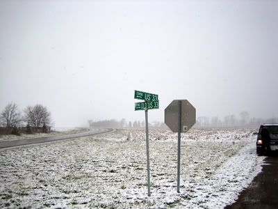
Signpost at south end of Old US 33 Alignment, looking north. Current US 33 visible on left, Old US 33 on right. Dave Zollinger photo.
In the period of time since the Lincoln Highway was originally laid out, the route was adjusted time and time again in order to make it shorter and more efficient. Some of these alignments occured while the route was still a major, active throughfare. Some are still taking place along the highways that once made up the route today.
Part way between Benton and Ligonier there is a short stretch of the old US 33 that has been bypassed by one of these alignments. This was once part of the original route of the Lincoln Highway.
To find it, follow these directions:
If you are coming from Goshen (north), follow US 33 (Lincoln Highway) south from Goshen, through Benton. From the intersection of US 33 & CR 33 at Benton, stay on US 33 and go 3.8 miles. The signpost shown in the photo will be on your left.
The entire drive is 11.5 miles from the Elkhart County Courthouse (center of Goshen)and will take 20 to 30 minutes depending on traffic.
If you are coming from Ligonier (south), follow Lincolnway West west from Ligonier. When you cross the county line from Noble County into Elkhart County the road name will change from Lincolnway West to CR 50. Keep going west until you get to the intersection of US 33 & CR 50. From the intersection of US 33 & CR 50 go north on US 33 for 0.3 miles. On the right you will see the road sign seen in the image above.
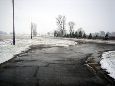
Looking south from roadsign. Current US 33 leads towards intersection of US 33 & CR 50 in the distance. Dave Zollinger photo.
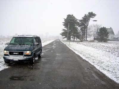
Looking north along Old US 33 from the same spot, the Spiny Norman Lincoln Highway Exploration Vehicle is clearly visible on the left. Dave Zollinger photo.
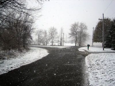
Further north, the road curves to the west and joins CR 148. Dave Zollinger photo.
Another 0.3 miles north of the roadsign, Old US 33 curves towrds the west and joins CR 148. From there it's about another 0.3 miles until CR 148 rejoins the current US 33.
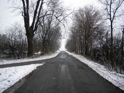
Looking west on CR 148, past the curve, towards the current US 33. Dave Zollinger photo.
Map:
View Larger Map



No comments:
Post a Comment